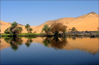
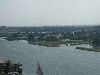
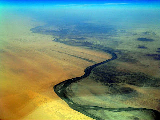
 The Nile (iteru in Ancient Egyptian) was the lifeline of the ancient Egyptian civilization, with most of the population and all of the cities of Egypt resting along those parts of the Nile valley lying north of Aswan. The Nile has been the lifeline for Egyptian culture since the Stone Age. Climate change, or perhaps overgrazing, desiccated the pastoral lands of Egypt to form the Sahara desert, possibly as long ago as 8000 BC, and the inhabitants then presumably migrated to the river, where they developed a settled agricultural economy and a more centralized society.
The river Nile froze twice in recorded history, in 829 and 1010.
The present Nile is at least the fifth river that has flowed north from the Ethiopian Highlands. Satellite imagery was used to identify dry watercourses in the desert to the west of the Nile. An Eonile canyon, now filled by surface drift, represents an ancestral Nile called the Eonile that flowed during the later Miocene (23–5.3 million years before the present). The Eonile transported clastic sediments to the Mediterranean, where several gas fields have been discovered within these sediments.

 During the late-Miocene Messinian Salinity Crisis, when the Mediterranean Sea was a closed basin and evaporated empty or nearly so, the Nile cut its course down to the new base level until it was several hundred feet below world ocean level at Aswan and 8,000 feet (2,400 m) below Cairo. This huge canyon is now full of later sediment.
Lake Tanganyika drained northwards into the Nile until the Virunga Volcanoes blocked its course in Rwanda. That would have made the Nile much longer, with its longest headwaters in northern Zambia.
Despite the attempts of the Greeks and Romans (who were unable to penetrate the Sudd), the upper reaches of the Nile remained largely unknown. Various expeditions had failed to determine the river's source, thus yielding classical Hellenistic and Roman representations of the river as a male god with his face and head obscured in drapery.
Agatharcides records that in the time of Ptolemy II Philadelphus, a military expedition had penetrated far enough along the course of the Blue Nile to determine that the summer floods were caused by heavy seasonal rainstorms in the Ethiopian highlands, but no European in Antiquity is known to have reached Lake Tana, let alone retraced the steps of this expedition farther than Meroe.
